http://images.google.com/imgres?imgurl=http://media.marine-geo.org/files/images/2008-MGDS-259.preview.jpg&imgrefurl=http://media.marine-geo.org/image/ocean-floor-map-iceberg-gouges-ross-sea-2008&usg=__S7f_KUUNSXWwZtQa3y9-25RUhmo=&h=563&w=640&sz=66&hl=en&start=201&um=1&itbs=1&tbnid=Bcr17dYW8ZfWpM:&tbnh=121&tbnw=137&prev=/images%3Fq%3D%2522bathymetric%2Bmap%2522%26start%3D198%26um%3D1%26hl%3Den%26sa%3DN%26rls%3Dcom.microsoft:*%26ndsp%3D18%26tbs%3Disch:1
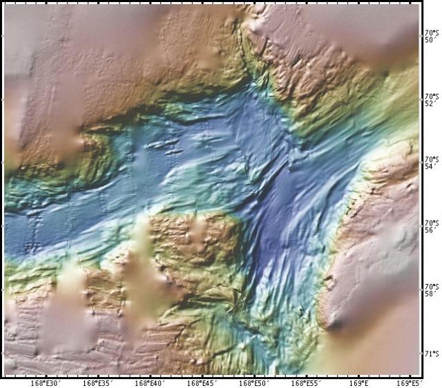
Bathymetric maps display seafloor elevation. In this map you can see the rise and fall of the ocean floor due to the textured contour lines and elevated lines.
No comments:
Post a Comment