http://images.google.com/imgres?imgurl=http://www.co.kittitas.wa.us/images/maps/map_wa_relief.jpg&imgrefurl=http://lu.com/odlis/odlis_h.cfm&usg=__29g7Af2qzTUxT83MhY4t-AoTlW4=&h=601&w=1080&sz=192&hl=en&start=10&um=1&itbs=1&tbnid=jSYwcmbhX4CFNM:&tbnh=83&tbnw=150&prev=/images%3Fq%3Dhypsometric%2Bmap%26um%3D1%26hl%3Den%26client%3Dfirefox-a%26sa%3DN%26rls%3Dorg.mozilla:en-US:official%26tbs%3Disch:1
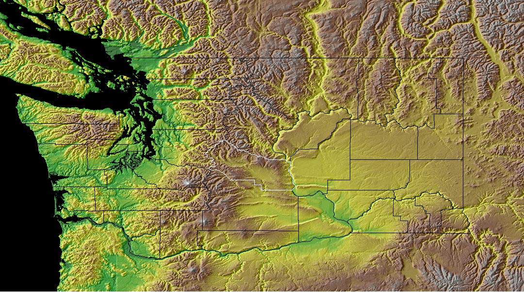
Hypsometric maps are surface maps that display relief and communicate information three dimensionally. The third dimension can be displayed by use of color and shaping, coutour lines, or raised relief. This map of the earth displays the third dimension and elevation by use of color, shaping, and texture.
No comments:
Post a Comment